
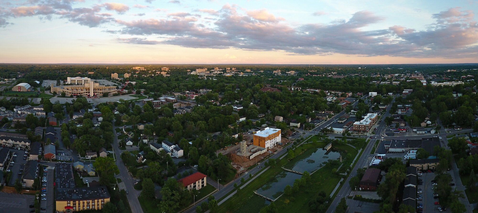
We integrate unmanned aerial systems into our suite of reconnaissance and analysis tools to provide you with the highest-quality service in the most efficient manner. There are many applications where drones can provide better information than traditional methods while being faster, safer, and more reliable. Contact us for a consultation to learn how we can support your operation.
SAFETY & COMPLIANCE: VET’s drone program utilizes a safety culture that ensures our clients are not putting themselves at risk by hiring us for their aerial reconnaissance and data collection. Our pilots are FAA-certified, insured, and adhere to strict policies and procedures during every operation.
KEY USES FOR unmanned systems:
GIS Mapping allows for recent high-resolution images of your site.
Data Collection from an aerial platform can provide accurate measurements on distance, location, area, elevation, and volume of cut, fill, and stockpiles.
Inspections allow our team to assess large sites quickly and access assets that are difficult and dangerous to physically inspect.
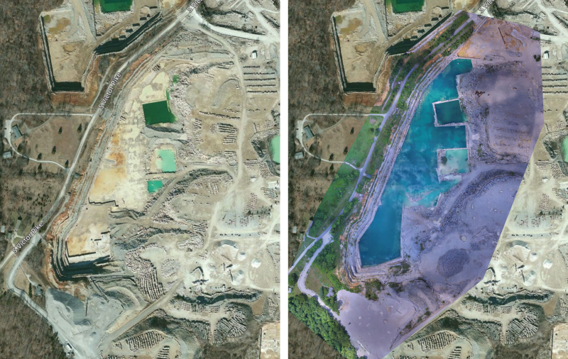
Wetlands and unreachable land features are quickly and easily accessed from the air, allowing our team to ground truth key features and develop smarter inspection and sampling strategies.
GIS Mapping
Utilizing mapping drones, we can quickly cover large areas and provide accurate GIS maps of your site that can be used to pull valuable data. One flight can provide you with the most recent "google maps" style aerial map with high-resolution, and allows our team to take important measurements on area, elevation, volume, and make important assessments on the impact of your site’s topography.
In addition, we can export these maps in a number of formats that are integrated with our current GIS analysis and site assessment for:
NPDES Storm Water Pollution Prevention Plan (SWPPP)
Spill Prevention Control & Countermeasure Plan (SPCC)
Jurisdictional Waters Determination (Stream and Wetland Delineations)
Environmental Assessment
Sinkhole Evaluation
Planning & Zoning Permitting
Aerial data collection
Map large areas quickly and efficiently while obtaining data that allows for easy measurements to be taken showing distances, elevations, area, cut, fill, and volume.
This is a quick and accurate mapping method that doesn't require personnel to take any on-ground measurements. We can fly over an entire area, process the data, and provide measurements on each item, paired with a digital map that you can view online. All maps are automatically archived to compare later for easy progress monitoring.


Inspections
Drone Inspections are a huge time saver for many industrial sites, energy companies, and other operations. We can quickly fly to hard-to-reach locations, taking high-quality photos that can be archived and viewed at anytime, allowing technicians to be sent directly to locations where you know there are problems or further assessment is needed.
Wetlands and unreachable terrain
The application of drones to wetlands, quarries, and other hard-to-reach sites not only saves significant time but allows our team to provide high-quality intelligence that would otherwise be unavailable for your assessment. Simple aerial photography can provide key insights, while more advanced mapping and measurements can be used to go even further.


Additional applications:
Environmental Assessments
Asset and Building Inspections
Compliance Documentation
Progress Monitoring
Thermal Imaging
And much more
Contact us to discuss how our drone program can benefit your business.